My 14 year old daughter and I did the southern swing of our covered bridges of Georgia tour over the weekend. This was by far our longest ride and our first overnight bike outing; 3 covered bridges and some beautiful little towns - 575 miles in two days. We took around 400 photos, here are some favorites.
Day 1: Up early and kickstand up at 7 AM and headed south on GA 20 to Griffin to meet up with BA.COM member WADE and his lovely wife for breakfast. This is a familiar 45 mile stretch of road and takes us through little towns that we know well enough to take them for granted. After breakfast, Wade joined us on the quest to find the Red Oak Creek covered bridge. Wade told us that the road was paved on one side of the bridge and dirt on the other but he was not sure which side was which. We rode south on U.S. 19 to Zebulon GA and turned West onto GA 18 for the ride through Concord and over the Flint River at flat shoals. Turns out that this took us to the dirt road side and so after 3 miles of VERY interesting riding on newly graveled road we arrived at the first bridge of our southern tour.
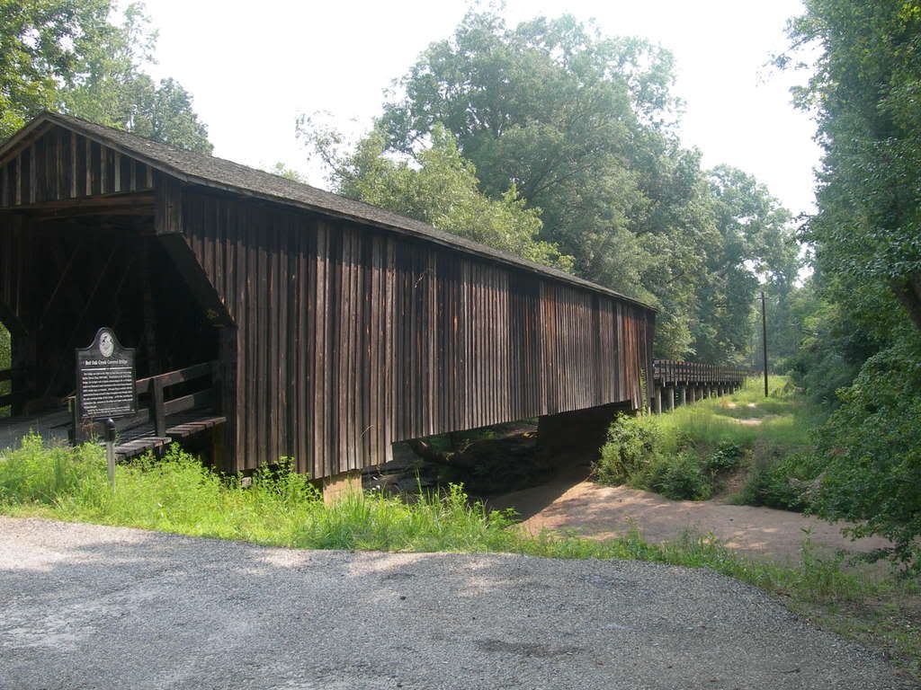
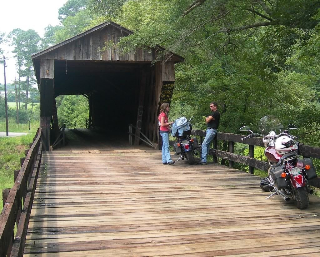
We crossed the bridge to the paved side and headed for GA 85 south to GA 74 East and back across the Flint River to Thomaston GA. Like many older towns, Thomaston is organized around a central courthouse square that serves as both waypoint and rotary and before the age of the interstate and bypass, and outlet mall was the main destination for shopping, dining, and visiting. In Thomaston, we stopped for lunch at English’s’ Café on the square.
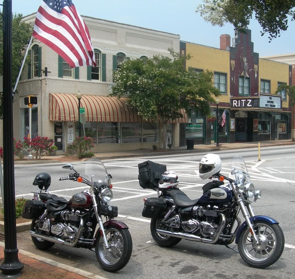
Here we were joined by Wade’s friend Dale for the short ride to Auchumpkee bridge just south of Thomaston and a couple miles east of U.S. 19.
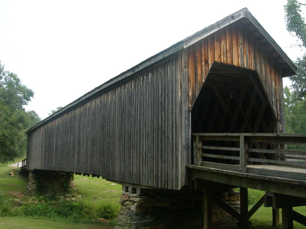
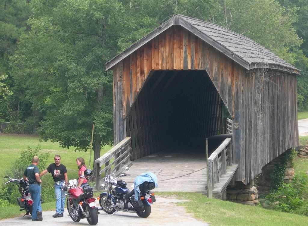
Back at 19 we parted company with Wade and Dale and we headed south through Butler, Ellaville, Americus and into Albany where we found a cheap hotel room, split a big steak dinner, showered and collapsed in a heap.
Day 1 totals: 2 Bridges – several town squares - 225 miles.
Day 2: Up early (again) and headed south through Albany to GA 62 West. Here is where southern GA becomes hard to distinguish from north central Florida. With no hills to impede them, the road makers did what was easy and laid down mile after mile of flat, straight asphalt. This is where the flatlanders grow cotton and peanuts and the farms slide by on both sides of the road. The trees here are dangling Spanish moss and there is almost always water standing in the ditches. In the cool of the morning, it gets foggy here and watching for deer and turkey buzzards in the road becomes paramount. Along this road we found Arlington, GA. Not on our itinerary, but worth a momentary stop for a couple of pictures, and for Rachel to get her play list in order.

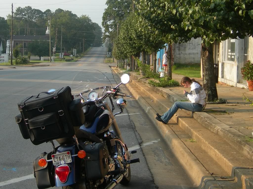
We left Arlington with the sun on our backs and made our way to Hilton, GA just 2 miles from the Alabama border and the southernmost bridge on our list. The Coholee creek bridge.
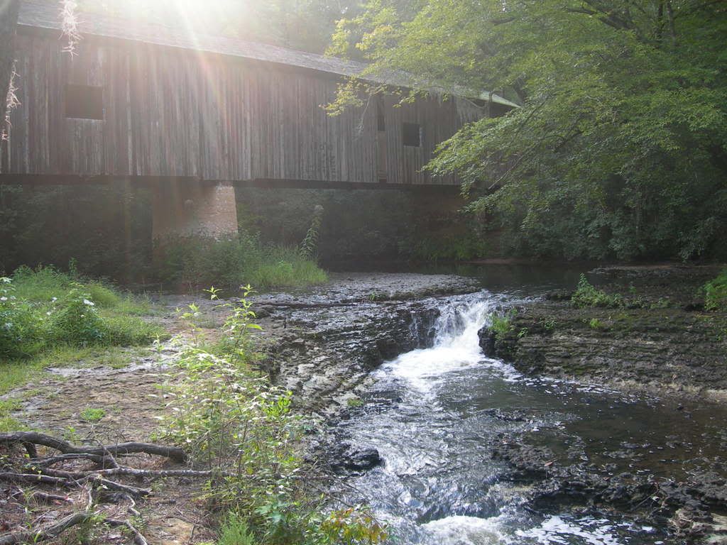

From Hilton we crossed the Chattahoochee and made our way to Dothan and then north on 431 to Eufala, AL which may just be one of the prettiest historic towns in the south:
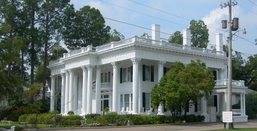
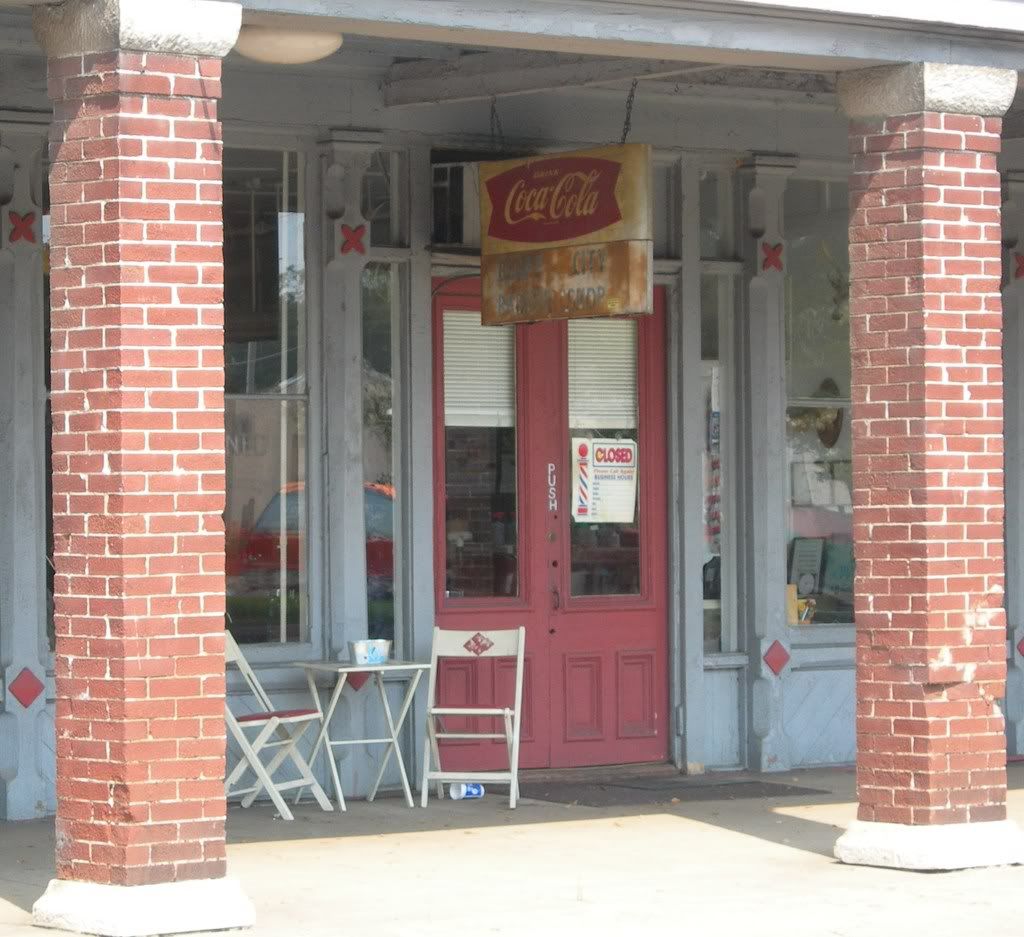

From Eufala it was 431 North to Phenix city and back across the river to Columbus, GA to catch U.S. 80 back to U.S. 19 North and home. It was in this stretch that the sky opened up for 15 miles and soaked us to the bone. It was the only rain we had on the trip and we were dry by the time we got back to Thomaston, so I cannot complain.
15 minutes from home I finally stopped in one of those little towns we take for granted and took this photo outside the antique shop in Rosebud.

Day 2 totals: 1 Bridges – several more town squares - 350 miles.